Penguin Counting with Machine Learning
Penguin Counting with Machine Learning
Mapping ecological change in the Antarctic Peninsula is an important problem in the context of global climate change. Penguin populations are an important indicator of the health of the oceans and their associated ecosystems. Unfortunately, most species of penguins live and nest far from human settlements and are, thus, difficult to monitor.
Systematic population surveys of penguin colonies require researchers to land on remote Antarctic islands and count the penguins and their nests manually. A recent alternative has been to use Unmanned Aerial Vehicles (UAVs) to map out colonies in detail and use the overlapping imagery to construct orthomosaics that have enough resolution to allow researchers to count entire populations within large areas that encompass multiple colonies. However, the sheer volume of data collected with UAVs acts as a major impediment to a manual census of the penguin population. Thus, our efforts have focused on an image-based penguin counting pipeline that is efficient, automated and non-intrusive.
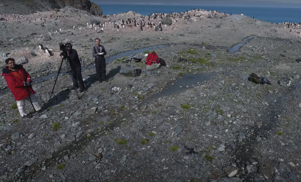
Our approach includes using an UAV to perform aerial imagery surveys on-site, stitching the UAV images into orthomosaics and counting penguins automatically with a deep learning model. We applied two different criteria in the deep learning model: counting penguins laying on their nests during incubation and counting penguin with their chicks on the nests after incubation. Our pipeline has shown promising results on data collected in our 2015 Danger Island campaign and our 2020 Elephant Island and Low Island campaign. This work broadens and expands our own previous efforts using UAV and deep convolutional networks in 2015 on the Danger Islands.
Affiliated Faculty: Hanumant Singh
